El Nino and It’s Potential Impact on the Corn Belt

In early May 2015, the Climate Prediction Center reported that weak to moderate El Niño conditions were present in the Pacific Ocean basin, along the equator. Furthermore, there is a greater 90% chance it will continue through summer and a greater than 80% chance it will last through 2015.

Now that El Niño has arrived, it’s influence on the NWS climate outlooks released last Thursday is considerable. For June (first figure, top row), the Southern Plains are expected to have an increased chance of cooler-than-average temperatures. A large part of the US is expected to have an increased chance of wetter-than-average precipitation, including portions of the southern and western Corn Belt.

For the period June-August (first figure, second row), the increased chance for cooler-than-average conditions stretches northward and eastward and includes all of Kansas and Missouri, southern Nebraska and Iowa, and far western Illinois. Continue reading

NWS Outlook – Wet October for Northern Corn Belt

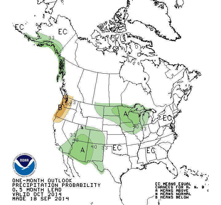
Much of the northern Corn Belt has an increased chance of above-average precipitation in October, according to the NWS Climate Prediction Center. This follows on the heels of above-average precipitation over the last 30 days across the Corn Belt.

In the map below, areas shaded in green have an increased chance of above-average precipitation in October and include the Dakotas, Minnesota, Wisconsin, Michigan, Iowa, northern Illinois, and northeast Missouri.

off14_prcp

Continue reading

NOAA Seasonal Outlook – Cooler in the Northern Corn Belt This Summer?

On June 19, the NOAA Climate Prediction Center released their latest monthly and seasonal outlook of temperature and precipitation for the US. One of the factors that will likely come into play this fall and winter is the developing El Niño event in the Pacific Ocean. Here is the breakdown of the outlooks. Unshaded areas show an equal chance of above, below, or near-average conditions and are labeled “EC”. Click on any map to enlarge.

JULY

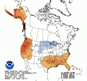
There is an increased chance of cooler-than-average conditions in July for eastern Montana and Wyoming, northeast Colorado, western Nebraska, and nearly all of the Dakotas, Minnesota, and Wisconsin. The rest of the Corn Belt is in the “EC” category. At the same time, the Southeast has an increased chance of warmer-than-average conditions.

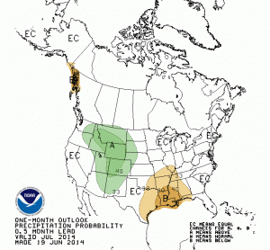
For precipitation, there is an increased chance of drier-than-average conditions in southern Missouri and Illinois. Meanwhile, there is an increased chance of wetter-than-average conditions in the Rockies and the western portions of the High Plains that could bring some relief to parts of drought-stricken Colorado, Nebraska, and Kansas.

off14_tempoff14_prcp

Continue reading